Cardinal Locator is a powerful, developer-friendly WordPress store locator plugin that gives customers the ability to add location search to a WordPress website. Control functionality with a wide array of settings within the admin dashboard, choose between multiple data sources, add filtering capabilities with taxonomies, and more. Built with the Google Maps API the plugin is highly customizable offering several filters, callbacks, and action hooks.

News
Features
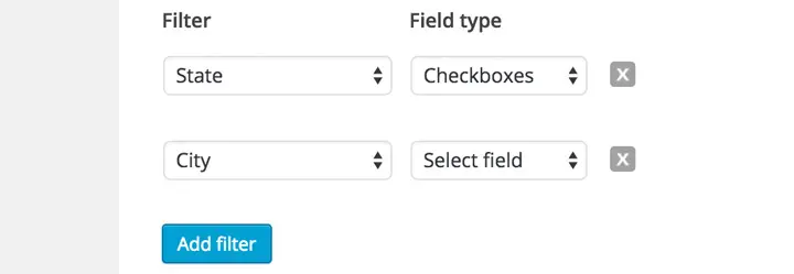
Add live category filters with custom taxonomies
Add live category filtering from custom taxonomies and standard address post meta fields and choose between a select field, checkboxes or radio buttons for each.
Add locations with a new or existing custom post type
Choose between the built-in locations custom post type or an existing custom post type if you already have your location data added in WordPress.
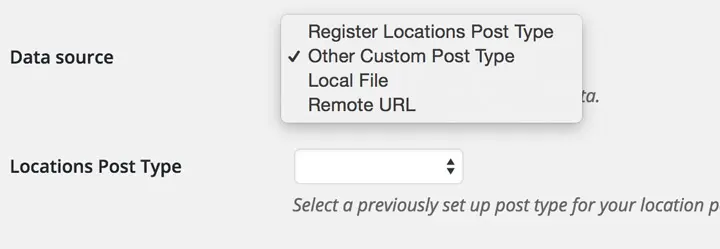
Use location data from existing KML, XML, or JSON on the local or a remote server
If you’d prefer to keep your location data outside of WordPress the plugin is able to read KML, XML and JSON formatted with specific attributes. If you choose this option you shouldn’t have much more than 1,000 locations.

WooCommerce Integration
Connect WooCommerce products to Cardinal locations (and vice versa), add product category and product filters to the locator, and display a locator on single product pages. Learn more about WooCommerce store locator integration.

Background geocoding process
Built-in functionality regularly scans and attempts to geocode any location post that has an address but no latitude or longitude coordinates.

Single Map Block
Add a map of any location either new or existing on any post or page of your site. This Gutenberg block is completely separate from the locator functionality and the purpose is to offer more traditional mapping functionality in addition to the locator.

Map existing address and coordinate meta fields
If you already have your locations loaded into WordPress as a custom post type and have the location address information and latitudes and longitudes entered as custom meta fields (including meta fields added with Advanced Custom Fields or similar), you can map those fields so the plugin can read them.

Add country select drop-down field
If you have locations in multiple countries it’s recommended to have a country drop-down for region biasing. This helps Google’s Geocoding API better determine the region of the request.

Implement custom map styling from Snazzy Maps or other source
Specify a path to a JavaScript file with a style array from Snazzy Maps or create a completely custom one to make the map look however you want to fit the styling of your page.

Use custom category marker images
Distinguish location categories with different marker images. When the setting is enabled an additional Category Image field will be added to the Location Categories taxonomy allowing you to upload the image through the WordPress media uploader.
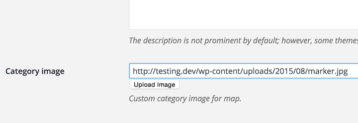
Use custom origin marker image
Highlight the user’s input location with a custom marker image uploaded through the WordPress media uploader.

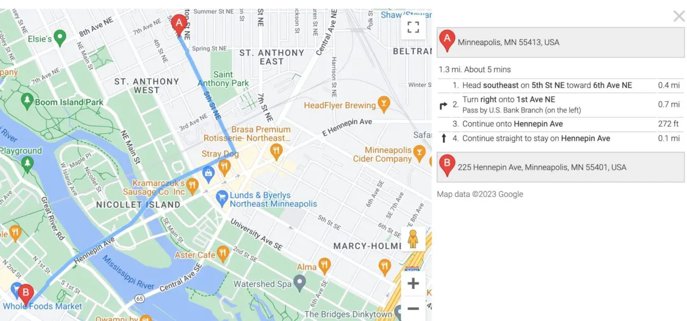
Inline directions from origin to destination
Allow users to view traveling directions from their input location to one of your locations without leaving the site.
Display the locator in a modal window
Display the store locator location results and map in a modal window for added focus.

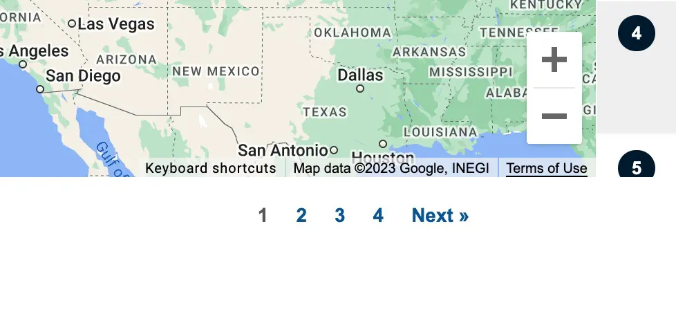
Pagination
If you’d prefer to return several results per search you can break down the location results into multiple pages.
Feature specific locations in results
Feature locations at the top of the results no matter the distance. Enable the setting and check the “Featured Location” meta field when adding or updating a location.

Override location list and infowindow markup with custom Handlebars templates
Upload custom location list and infowindow Handlebars templates to override the output of the location information that’s displayed in the location results list and the infowindow box that’s displayed when a marker or location is selected. Available variables.

Add a maximum distance select drop-down field
Give user’s the ability to narrow their search results by enabling the maximum distance setting.

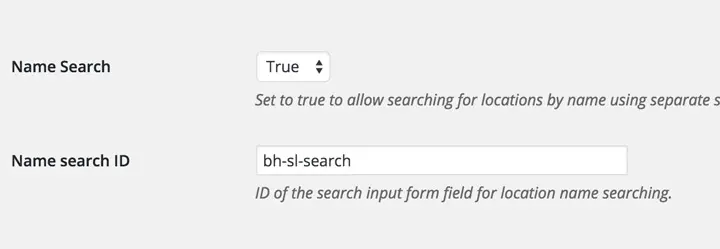
Add a field to search locations by name
Instead of searching the locations by address or zip code an additional field can be added to search by location name.
Select miles or kilometers as the unit of length
The plugin defaults to miles as the unit of length but this can alternatively be set to kilometers.

Choose between the four map types
Choose between the four map types available: road map (default), satellite, hybrid (mix between normal and satellite) or terrain.

Only display locations in the locations list that are visible on the map
Have the location list only show data from markers that are visible on the map.

